Rotorua
Geological Summary
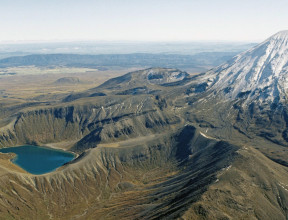
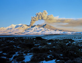
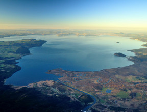
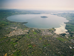
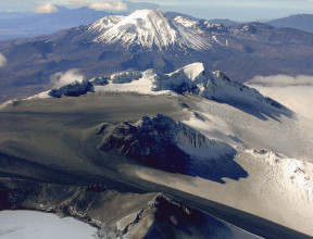
The geology of the city of Rotorua is either volcanic or sediments largely derived and reworked from volcanism during the mid to late Quaternary. Rhyolite lava and ignimbrite form some of the more elevated areas, and most of the city is built on alluvial and lake deposits, interspersed with many volcanic ash layers.
Maps and Information
There are no geological mapping projects underway or imminent in the Rotorua area. Previously completed maps include:
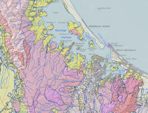
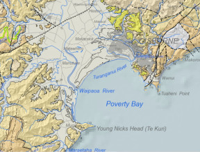
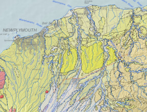
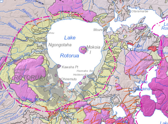
2010/2018: QMAP 1:250 000 geological map
For wider and more generalised geological context of the Rotorua area, a 1:250 000 geological map was printed with accompanying explanatory text. Digital GIS and image versions of the map are available on DVD. The digital version has since been updated in a national GIS dataset at that nominal scale. The underlying GIS datasets have rich feature attributes.
- Leonard, G.S.; Begg, J.G.; Wilson, C.J.N. (compilers) 2010. Geology of the Rotorua area(external link). Institute of Geological & Nuclear Sciences 1:250 000 geological map 5. Lower Hutt, New Zealand. Institute of Geological & Nuclear Sciences Limited. 1 sheet + 102 p.
- Heron, D.W. (custodian) 2018. Geological Map of New Zealand 1:250 000(external link). GNS Science geological map 1 (2nd edition). Lower Hutt, New Zealand. GNS Science.
A geological map image can be downloaded(external link) or interrogated through the geological map application(external link). For GIS users, the QMAP geological feature layers can be downloaded from GNS Science’s Web Map/Feature Service(external link).
2002: Okataina 1:50 000 geological map
The eastern part of the city area of Rotorua is covered by a 1:50 000 geological map published(external link) in 2002 (Nairn 2002).
- Nairn, I.A. 2002. Geology of the Okataina Volcanic Centre: sheets part U15, part U16, part V15 & part V16, scale 1:50,000(external link). Lower Hutt: Institute of Geological & Nuclear Sciences. Institute of Geological & Nuclear Sciences geological map 25. 156 p. + 1 sheet.
For GIS users, the layer NZL-Urban Rotorua geological units can be downloaded from GNS Science’s Web Map Service(external link).