The Aotearoa-New Zealand Earthquake Catalogue – A potted history of earthquake location metadata and why it matters
Welcome, haere mai to our second GeoNet Data Blog. Today we want to explain a bit about some meta-data in our earthquake catalogue, how it tracks the recent history of how earthquakes have been located in Aotearoa-New Zealand, and why this might be important for you to understand.
As we’re sure you are all aware, GeoNet has a seismograph network that allows us to locate earthquakes in Aotearoa-New Zealand; more than 22,000 in 2021 Those locations, close to 700,000 in total, are stored in a catalogue that is available for everyone to access. A brief history of earthquake location and the catalogue is available in a FAQ document.
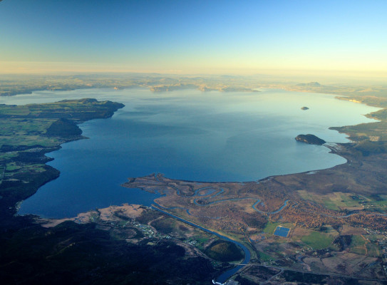
We are going to work with a small subset of the catalogue, earthquakes beneath Lake Taupo since 1980, provided they were no more than 30 km deep. Any area will do, but we’ve chosen this one because it’s a beautiful spot, and also to help illustrate the value of understanding catalogue meta-data.