Satellite data reveals the sinking New Zealand cities most vulnerable to sea-level rise
New research from the Our Changing Coast programme uses cutting-edge satellite technology to measure the vertical movement of the coastlines of our cities, equipping New Zealand with crucial information for future urban development decisions.
Sinking coastlines exacerbate the challenges of sea-level rise
Aotearoa New Zealand’s densely populated urban coastal strips are already feeling the impacts of sea-level rise, with increased impacts from storms and tidal surges. Coastal infrastructure and communities will be under increasing threat as our seas continue to rise.
Coupled with this, in many of our cities, human actions such as groundwater withdrawal, land reclamation and cut and fill operations are causing a steady subsidence of our coastlines. This land subsidence can potentially double or triple the effects of sea-level rise for certain urban hotspots.
Observing Earth from space provides detailed and precise measurements of land subsidence
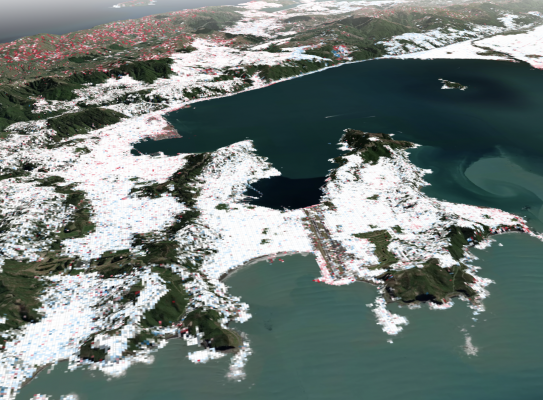
Researchers from GNS Science and Te Herenga Waka – Victoria University of Wellington used a technique known as InSAR (interferometric synthetic aperture radar), that uses satellite radar images, and data from the GeoNet sensor network, to track vertical movement of the land with millimetre-scale precision for Auckland, Wellington, Christchurch, Dunedin, Tauranga, Lower Hutt and Porirua.
The research builds upon earlier work by the NZ SeaRise project, but provides a much higher resolution, with measurements for this new study taken at every 10 metres rather than 2 kilometres.
The results showed subsidence was occurring at 1.5 mm per year for Auckland, through to 3.6 mm per year for Christchurch. When combined with current rates of sea-level rise the cities in the study are facing close to or above 7 mm relative sea-level rise per year.
Ian Hamling, study co-author and GNS InSAR Scientist says that the research highlights the importance of measuring local vertical land movement to help provide the best estimates of future sea-level rise.
“We found that, even at a city scale, local variations in the land movement can alter relative sea- level projections. Having this greater accuracy will be vital for flood mitigation planning and future development decisions.”
Find out more in this article in The Conversation.(external link)