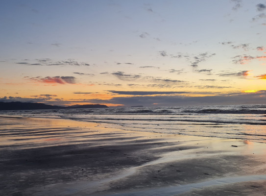
Sea level rise
Sea level rise is driven by both global warming and by changes in the land due to tectonic movement. Our research is helping fine tune sea level rise predictions at a local level.
Causes of sea level rise in Aotearoa
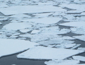
There is broad agreement that global warming is causing ice sheets and glaciers to melt and ocean waters to expand. Average sea level to rise is expected to be 3.5 mm per year. But there are many uncertainties. It is not yet clear how rapidly Antarctica’s sea ice will melt, and changes to sea level will not be uniform across the planet.
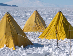
Our preliminary work suggests that sea level close to Antarctica’s coast will initially rise faster than the global mean. This local variability is partly due to the gravitational attraction between the ice sheets and the ocean, but also reflects the impact that changes in surface mass have on the shape of Earth’s crust.
What has NZ SeaRise been working on? | NZ SeaRise: Te Tai Pari O Aotearoa
20 years ago we thought sea-level rise was like pouring water into a bathtub – if you put more water in, it rises uniformly around the world.
Aotearoa is also affected by up and down movements of our land. Aotearoa straddles the Pacific and Australia plates. Movements in these plates can cause earthquakes, which can cause vertical jumps in land movements occur, and also smaller, continuous shifts that occur between large seismic events. Small or large, these changes add up: some areas are rising or falling as much as 4 millimetres per year. In areas that are going down (subsiding), the annual rate of sea level rise can double.
Impacts of sea level rise
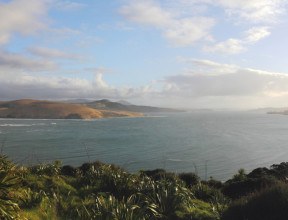
Sea level rise impacts human communities and ecosystems, infrastructure and groundwater, homes and supply chains. It is imperative that we know exactly how sea level is rising and how land is subsiding to mitigate and protect against the impacts of sea level rise.
Sea level rise research
The NZ SeaRise: Te Tai Pari O Aotearoa programme(external link) is a five-year research programme funded by the Ministry for Business, Innovation and Employment Endeavour Fund. It brings together 30 local and international experts from Te Herenga Waka-Victoria University of Wellington, GNS Science, NIWA, University of Otago and the Antarctic Science Platform to improve projections of sea-level rise in Aotearoa New Zealand.
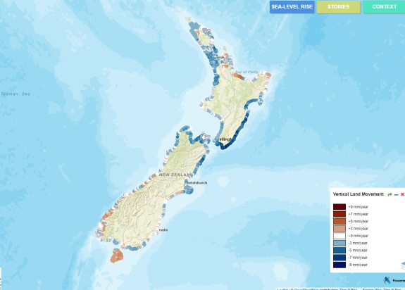
We have connected vertical land movement data with climate driven sea level rise to provide locally-relevant sea level projections. We have released location specific sea level rise projections out to the year 2300 for every 2 km of the coast of Aotearoa New Zealand. These projections can be accessed through a new online tool developed by Takiwā, a data management and analytics platform.
What's happening at your coast?
For the first time, New Zealanders can see how much and how fast sea level will rise along ‘their own’ stretch of coast and in their neighbourhood. The tool allows users to click on a particular location on the coast and see how much sea level is expected to rise, and by when, under different climate change scenarios.
Our data will help us make better decisions about how to manage the consequences of rising seas in New Zealand. The new projections helped inform the Ministry for the Environment’s national adaptation plan. It will also be used to help develop an updated version of the 2017 coastal hazards guidance for local government, which is advice to help communities, planners, businesses and infrastructure providers across the country adapt equitably and effectively to the unavoidable impacts of coastal hazards and climate change.