Hunga (Tonga) voyage: The journey so far
The R/V Tangaroa has made its way to the Hunga-Tonga volcano. VUW Associate Professor Simon Lamb gives us a detailed summary of the journey so far.
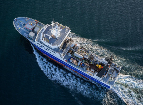
All 22 scientists boarded the R/V Tangaroa in the Port of Tauranga on the morning of Tuesday 14th May, completing the ship induction briefing and plugging computers into the ship’s internet system. The ship has Starlink satellite communication, providing almost unlimited opportunities to remain connected to the outside world with telephone calls and access to the internet! Heavy rain and strong winds kept us in port for all of Wednesday, so that it was not until Thursday morning that we finally set sail.
As soon as we left the calm conditions of the harbour and experienced the 2 metre swells of the open ocean, the scientists on board started to feel the effects of sea sickness. Some scientists disappeared from view, hunkering down in their cabins, and the main topic of conversation became how to combat the feelings of nausea. Over the next few days, the ship’s mess started to fill up again, enjoying the delicious meals, even if they were at unusual hours – breakfast at 6.30 am, lunch at 11.00 am, and dinner at 5.00 pm. Those scientists that had the night shift, running from midnight to 12 noon, slowly adjusted their routines.
Our course was roughly NNE, following the Tonga Kermedec volcanic arc. We passed the last outpost of New Zealand at Raul Island – just visible from the ’Monkey’s Nest’ above the Bridge - entering Tongan waters. We had clear views of the main island of Tonga. And five days after leaving port, we arrived at our first station at Hunga Volcano. The science experiments could now begin in earnest, although measurements of the strength of the Earth’s magnetic field and the pull of gravity had been underway for the whole voyage so far.
Almost all of the Hunga-Tonga volcano lies underwater, forming a sort of giant ‘tree stump’ about 12km across, with a deep crater right in the middle reaching a maximum depth of about 840 metres below sea level. This crater was created during the 2022 eruption when a vast plume of ash and steam blew out. The plume punched its way right through the atmosphere and into space with the energy of a 60 Megaton atomic bomb.
The multibeam acoustic sounder revealed the distinctive shape of the volcano as the ship sailed over the crater rim and stopped in the deep water of the central caldera at around 7pm on Monday 20th May, bringing us to the epicentre of the eruption. Here, instruments were lowered down to within 20 metres of the crater bottom, measuring the temperature, salinity, and conductivity all the way down. It became clear that the crater is a gigantic bowl filled up with a sort of ‘chemical soup’ gushing out of hydrothermal vents or seeps.
The ship then moved to the north of the volcano to begin the detailed surveying of the seabed, following parallel tracks so that the multibeam instrument can build up a very high-resolution map of the seabed. This operation helps to ensure that there are no potential hazards that could cause problems for the other scientific experiments.