GeoNet Geodetic Data
Database
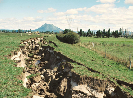
GeoNet's ground deformation data are collected continuously using GNSS (commonly referred to as GPS) receivers and antennas. GeoNet computes a daily position for each station to track deformation caused by the interaction of the Australian and Pacific tectonic plates. This is a collection of GPS/GNSS-related data resources and tools.
Find more content related to:
GNS Science topics
Locations
- Te Tai-o-Aorere / Tasman
- Rangitāhua / Kermadec Islands
- Rēkohu / Chatham Islands
- Rakiura / Stewart Island
- Murihiku / Southland
- Ōtepoti / Dunedin
- Ōtākou / Otago
- Ōtautahi / Christchurch
- Waitaha / Canterbury
- Kaikōura
- Te Tai Poutini / West Coast
- Te Tauihu-o-te-waka/ Marlborough
- Whakatū / Nelson
- Antarctica
- Te Whanga-nui-a-Tara / Wellington
- Manawatū-Whanganui
- Central Plateau
- Taranaki
- Te Matau-a-Māui / Hawke's Bay
- Te Tai Rāwhiti / Gisborne
- Te Moana-a-Toi / Bay of Plenty
- Waikato
- Tāmaki Makaurau / Auckland
- Te Tai Tokerau / Northland
- Aotearoa / New Zealand
- Pacific Islands