Marlborough-Cook Strait faults
Detailed mapping of active faults in Cook Strait has provided a vital missing piece of the puzzle about the potential connection between the major active faults of the North and South Islands.
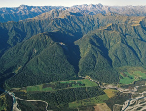
New Zealand’s position atop the boundary of the Pacific and Australian Plates gives us notable fault zones such as the South Island’s Alpine Fault and Marlborough Fault system and the North Island’s Wellington Fault and Taupō Volcanic Zone.
The Cook Strait lies at the junction of the South Island and the North Island fault zones
With strong tidal flows, a minimum width of 22 km and an average depth of 128 m, the Cook Strait waters obscure our ability to clearly see how these fault systems interact. However, mapping activities and studying earthquakes that have occurred on the Cook Strait have provided some insights into the faults within the Cook Strait and how these faults connect to and interact with South and North Island fault zones.
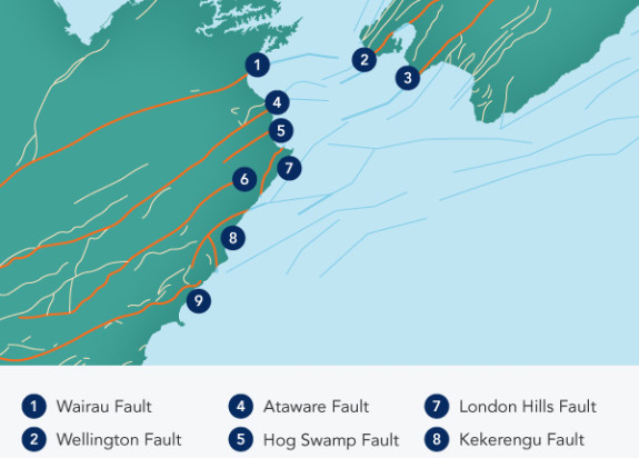
Faults found in the Cook Strait
In the mid-2000s, NIWA conducted a study for GNS Science that examined ocean floor sediments for geophysical evidence of past movements. This study revealed a myriad of small and large faults and some insights into the relationship between the faults in each island and also its relationship to the southern end of the interface between the Australian and Pacific tectonic plates.
One of the most significant findings was the presence of a gap between the major faults of the North and South Islands. While seismic data have shown that some of these faults, including the Wairau, Awatere and Wellington, do extend offshore into Cook Strait, through-going structures have yet to be identified. That said, ruptures on Cook Strait faults may trigger (or be triggered by) ruptures on adjacent North and South Island fault zones.
While scientists haven’t found any through-going faults, there is a first-order alignment between:
- The Wairau and Awatere Faults in the Marlborough Fault System and the Kapiti-Manawatu, Ohariu and Wellington Faults in the North Island
- Kekerengu Fault in the South Island and the Boo Boo Fault and the Wairarapa Fault in the North Island
These alignments are important for estimating the size of future large earthquakes in the region. They also help with our understanding of how earthquakes may trigger additional earthquakes.
2013 Cook Strait earthquake sequence
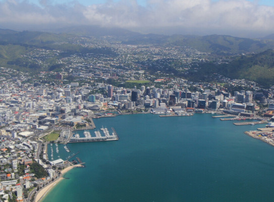
The 2013 Cook Strait earthquake sequence began on 18 July 2013. Two foreshocks of Mw 5.7 and Mw 5.8 culminated in the Mw 6.6 Cook Strait and Lake Grassmere events on 21 July and 16 August, respectively. The earthquakes generated significant ground shaking in the Wellington and Marlborough regions.
During the first event, located under Cook Strait, continuously recording GPS instruments across central New Zealand recorded up to 5 cm of horizontal displacement. Modelling suggests that the rupture was 25 km long. The second event, located 20 km to the southwest, caused displacements of up to 25 cm at GPS sites located around the Clifford Bay area.
In addition, two interferograms from RADARSAT-2 and TerraSAR-X showed up to 30 cm of displacement in the vicinity of Lake Grassmere. Modelling indicates a predominantly dextral strike slip of up to 2.1 m. The earlier foreshocks suggest that the Cook Strait event was triggered by the preceding events and that the Lake Grassmere event was subsequently triggered by the Cook Strait earthquake.
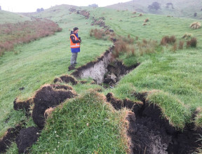
Analysis and modelling of geodetic data following the Cook Strait and Lake Grassmere events suggest that both events occurred along the same, unmapped fault that extends from beneath Lake Grassmere into the Cook Strait.