GeoNet
GeoNet provides New Zealanders with high quality open data for research and monitoring on earthquakes, tsunamis, volcanic activity and landslides.
GeoNet is operated in partnership with Natural Hazards Commission Toka Tū Ake, Toitū Te Whenua Land Information New Zealand and GNS Science.
GeoNet is always ‘on’
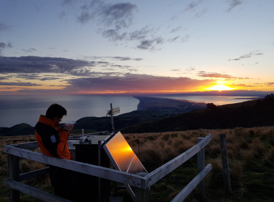
GeoNet uses remote and on-site methods to acquire and transport data about earthquakes, landslides, tsunamis, and volcanoes. We deploy, maintain, and upgrade a range of instruments and infrastructure in a network of over 1000 monitoring instruments in 700 locations.
GeoNet collects and monitors 24/7 data and responds to geohazards in New Zealand.
This starts with a country-wide network of sensors that transmit their data to the GeoNet Data Management Centre (DMC) where it is analysed by automated processes, and made available to the public, science researchers and hazard analysists.
Then we have the National Geohazards Monitoring Centre | Te Puna Mōrearea I te Rū (NGMC), which ensures a 24/7/365 situational awareness of geohazards. The centre works with on-call science staff and expert panels who provide enhanced monitoring and escalation during geohazard event responses. Together, they support GNS Science in its role as a support agency in a geohazard event, providing prompt expert advice and intelligence about hazard events to external agencies, primarily NEMA.
How does GeoNet monitor...
-
Earthquakes
To make rapid locations of earthquakes GeoNet operates a country-wide network of seismic stations that transmit their data to the GeoNet Data Management Centre (DMC) where it is analysed by automated processes. The earthquake is then located by SeisComP and information is released onto the Quakes (external link) part of the website. The seismic stations operated by GeoNet consist of a seismometer and a digitiser. A seismometer is a sensitive instrument that generates a small electrical current in response to ground shaking. The electrical current is then digitised and transmitted continuously to the DMC in real time. This digital recording of ground shaking is the data used to make earthquake locations.
-
Landslides
GeoNet maintains a rapid response and long-term monitoring capability for landslides in New Zealand. The rapid response team consists mainly of engineering geologists and geotechnical engineers. The aim is to have team members mobilised within 24 hours of a major event.
-
Tsunamis
GeoNet uses seismic sensors to characterise potential tsunami-generating earthquakes occurring off the New Zealand coast. It also operates or shares tsunami gauges across the greater New Zealand region to observe any tsunami that may have been generated.
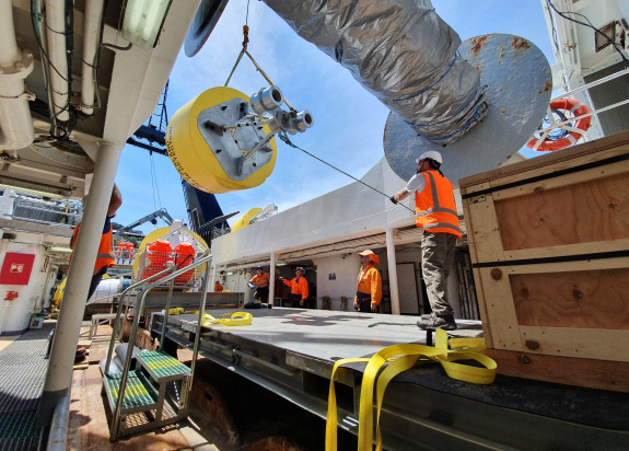
We and our partners have deployed the New Zealand Deep-Ocean Assessment and Reporting on Tsunami (DART) network across the southwestern Pacific Ocean to support detection and analysis of potential tsunami in the Pacific.
The DART (Deep-ocean Assessment and Reporting of Tsunami)(external link) sensors currently help us monitor tsunami by recording pressure created by the water column above the sensor and detecting anomalously high or low changes in that pressure as waves move through the water column. Each DART sensor consists of an ocean bottom pressure sensor which record the pressure of the water above the sensor on the seafloor and surface buoys which transmit that data via satellite transmission to GNS Science and on to global and regional monitoring partners. The data helps scientists provide advice on whether a tsunami has been generated or not, and more accurately estimate how big the waves could be if they reach our coast and when they might reach us.
-
Volcanoes
Monitoring active volcanoes requires the use of several techniques collectively known as Volcanic Surveillance. Multiple areas of science are used in studying the behaviour of an active volcano. Data from all disciplines are collected, analysed and cross-referenced, to help give an understanding of behaviour at the volcanoes and an insight to future eruptions. Primarily our scientists are looking for significant changes in how the volcano looks, it's lake levels, the chemistry of its gases and lakes, and seismic activity.
Credit: Sarah Searson NIWA