Urban geological maps
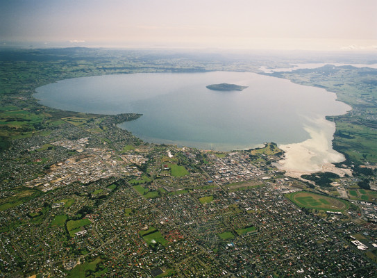
Understanding the geology beneath New Zealand’s towns and cities enables better-informed approaches to planning, development and urban management.
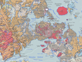
GNS Science’s urban geological mapping programme aims to provide geological information that will contribute to planning and infrastructure development in rapidly growing areas.
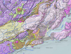
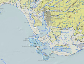
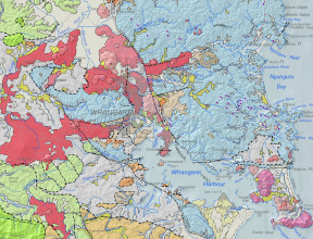
Geological mapping of urban areas requires a more detailed scale to build understanding of the geological foundations that support our cities, towns and critical infrastructure. The maps we create help decision-makers plan for the future.
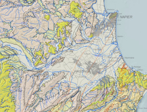
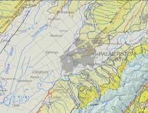
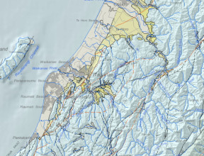
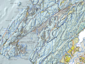
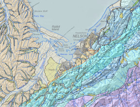
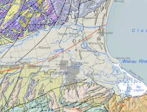
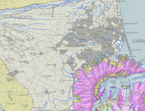
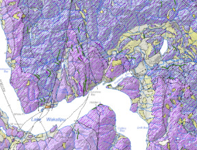
All of New Zealand is covered by the QMAP geological map series.
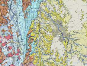
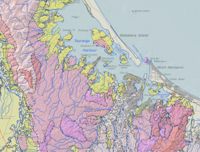
For most of New Zealand, QMAP is the most up-to-date digital geological map information available. QMAPs are generalised and show broad geological context, rather than details relevant at the scale of urban areas. Many New Zealand cities, and some larger towns, have print-published geological maps at more detailed scales, with or without explanatory notes or books. Most of these are more than 20 years old.
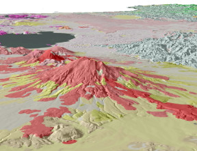
GNS Science is providing improved and more detailed geological information for New Zealand urban areas. The new geological map datasets include information on the surface geological materials, landform characteristics (geomorphology) and interpretations of subsurface geology. They contain a mix of 2-D surface mapping and its integration with subsurface information obtained from drill holes, geotechnical probes and geophysical data to create 3-D geological models.